
Every Flight. Every Change. Every Chapter
— Yaxché means “ceiba,” the sacred “first tree” of the Maya. Through this website, we document the construction of our home and the growth of our ever-evolving eco-community in Costa Rica.
Every Flight. Every Change. Every Chapter
— Yaxché means “ceiba,” the sacred “first tree” of the Maya. Through this website, we document the construction of our home and the growth of our ever-evolving eco-community in Costa Rica.
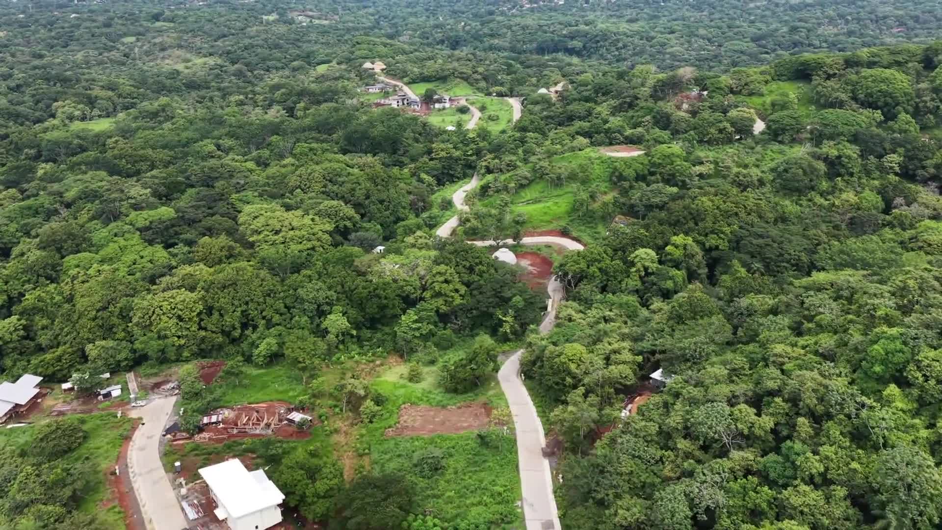
Aerial survey of the Dalia, Ceiba, and Bamboo neighborhoods within Ecovilla San Mateo. Beginning in the upper reaches of Dalia and continuing through Ceiba to Bamboo, the footage documents neighborhood layout, community green spaces, and the distinct character of each area, including the Dalia, Ceiba, and Bamboo common areas.
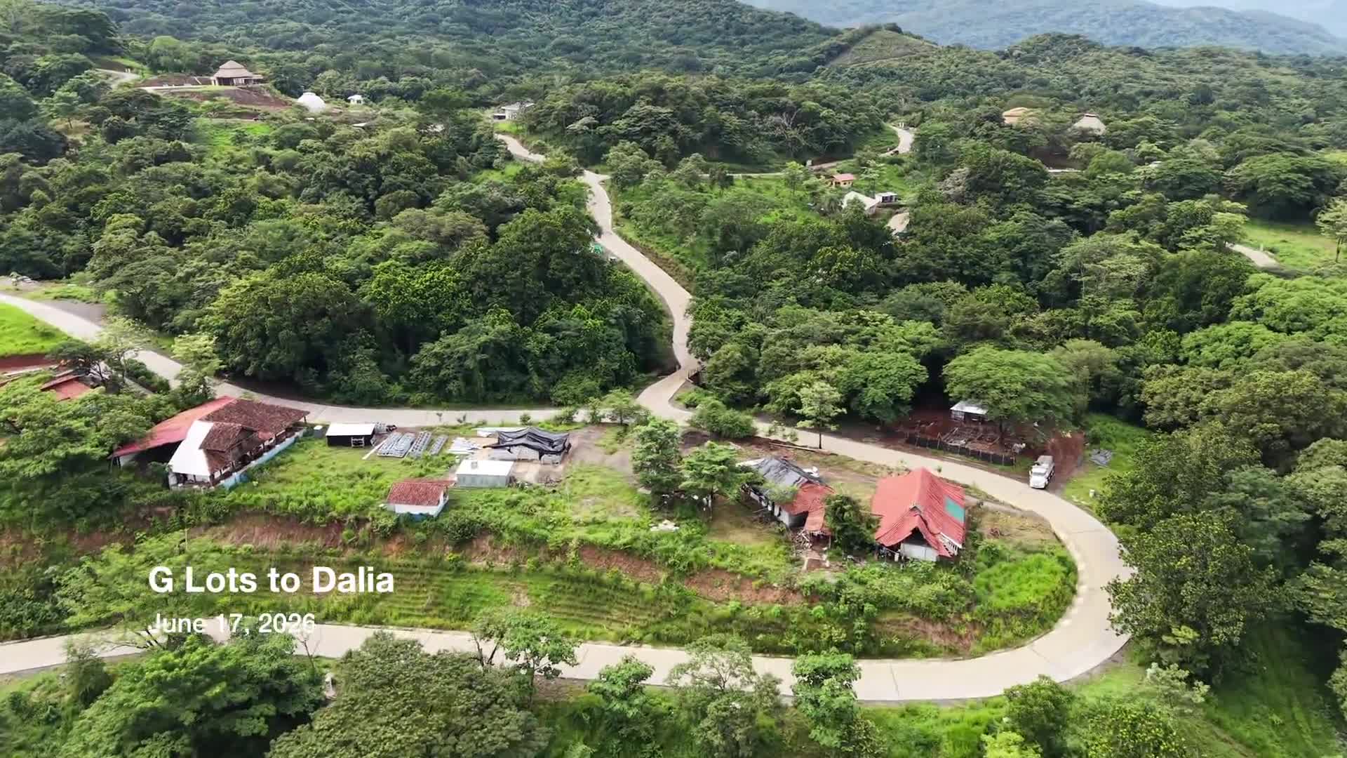
Aerial overview of the future G Lots area and the surrounding neighborhoods of Ceiba and Dalia. The survey captures ongoing development, community green spaces, bamboo common areas, and notable landscape features, providing a broader perspective of how these areas connect within Ecovilla San Mateo.
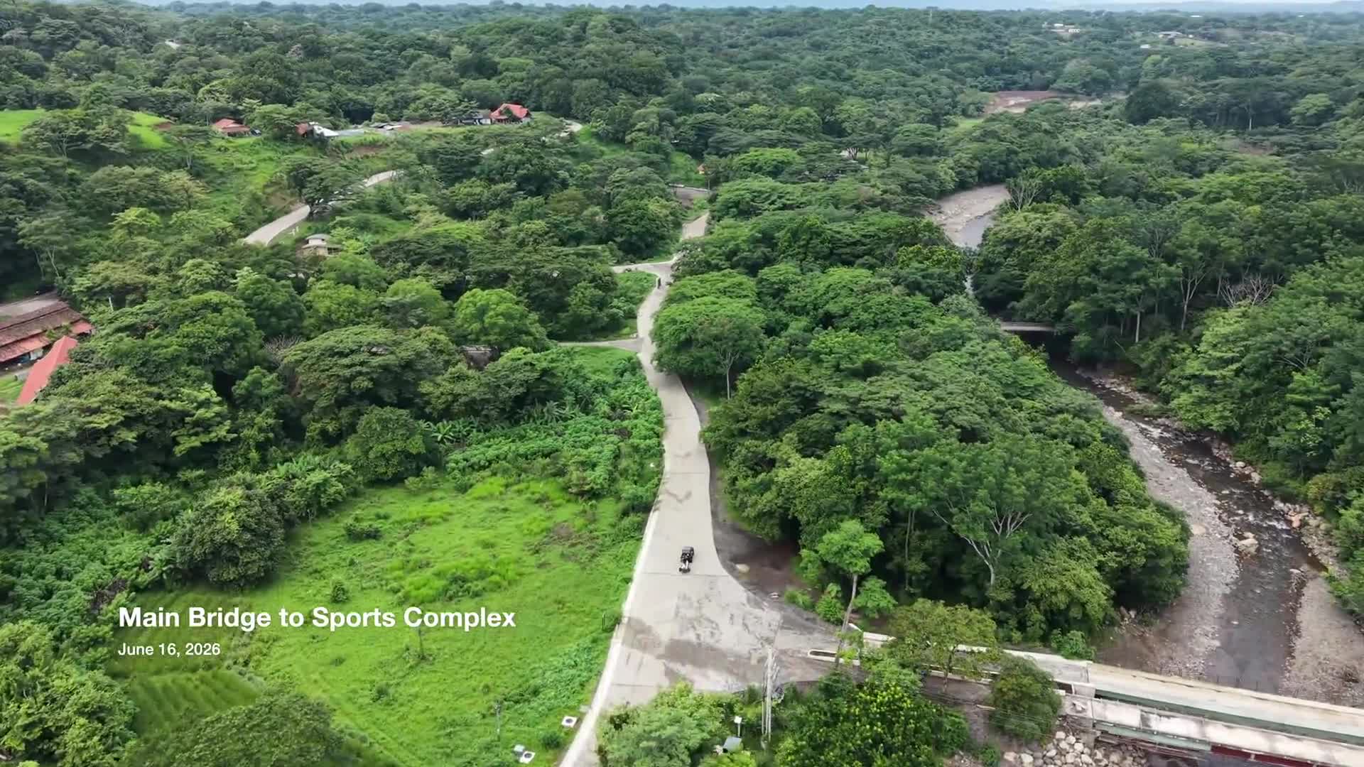
A high-altitude aerial survey documenting the area between the Main Bridge and Sports Complex. Following the community’s primary roadway, the flight highlights the Almendro Neighborhood, future development areas within the G Lots sector, key infrastructure, and the surrounding natural landscape. The footage provides a broad overview of this section of Ecovilla San Mateo and serves as a historical record of community growth, land stewardship, and ongoing development.
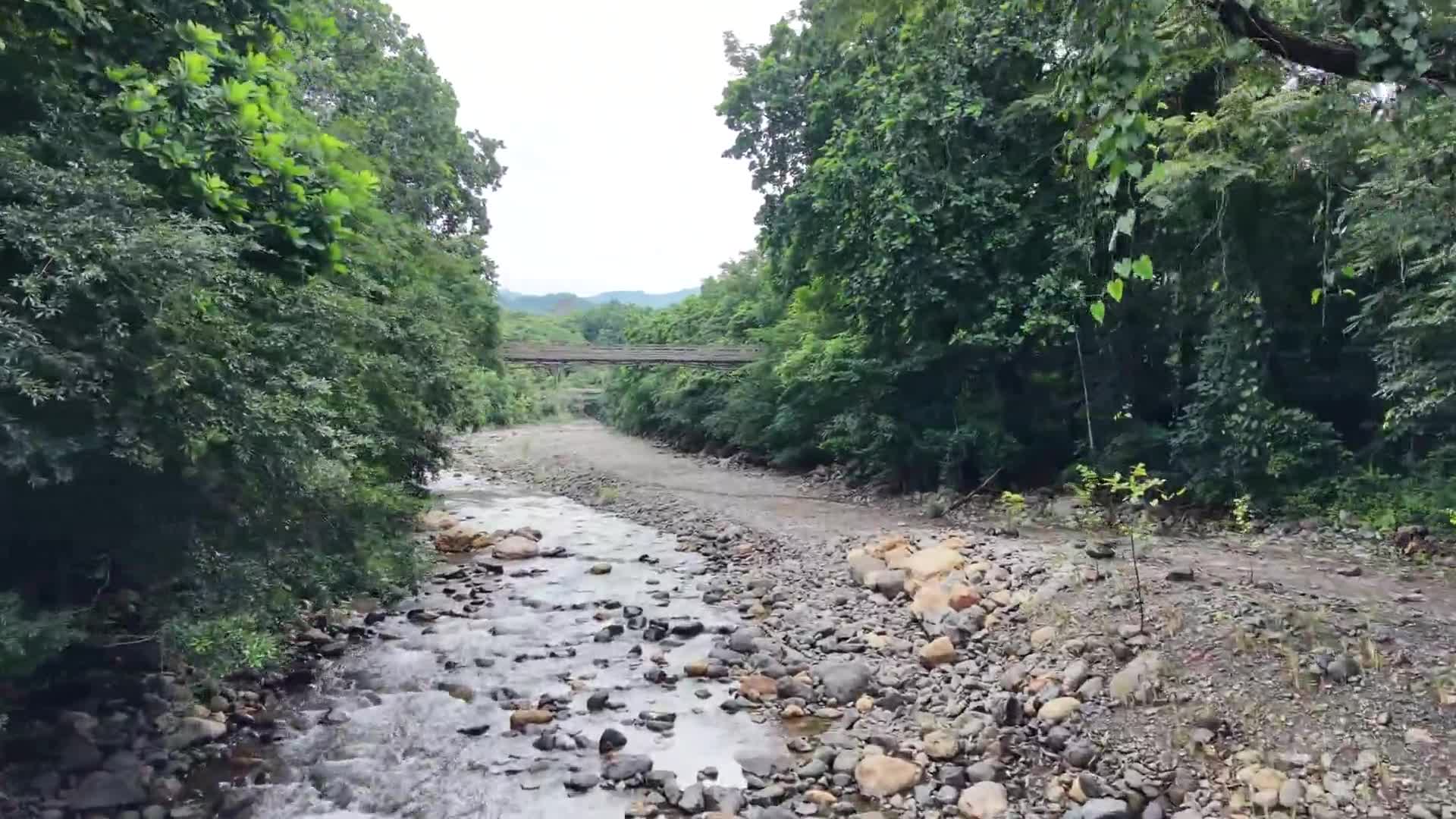
Aerial survey of the river corridor from the School Footbridge to the Main Bridge. The footage documents river conditions, riparian landscapes, and ongoing tree-planting efforts along the riverbanks, providing a visual record of ecological restoration and community stewardship within Ecovilla San Mateo.
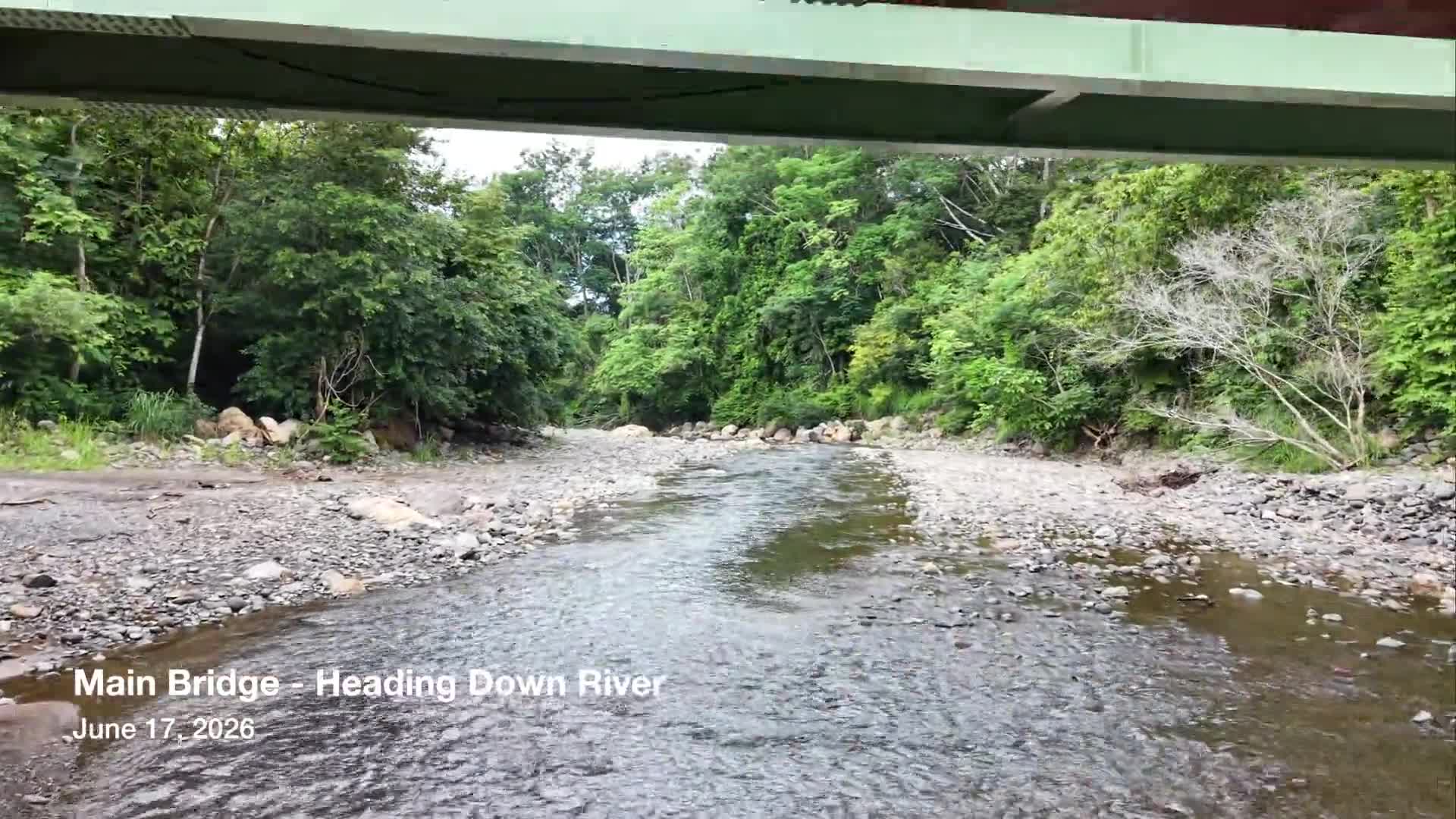
Aerial survey of the river corridor from the Main Bridge to the future Sports Complex. The footage documents the pedestrian bridge serving the school, river conditions, and ongoing reforestation efforts, providing a visual record of the landscape and ecological restoration taking place throughout Ecovilla San Mateo.