Bridge to Sports Complex Aerial Survey
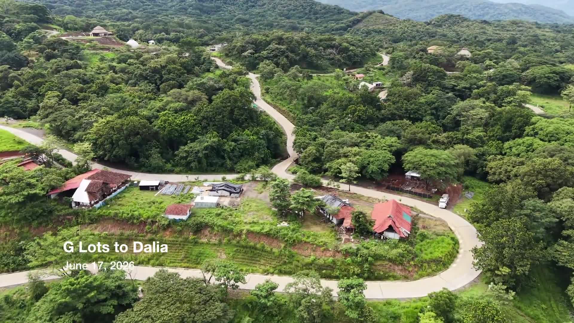
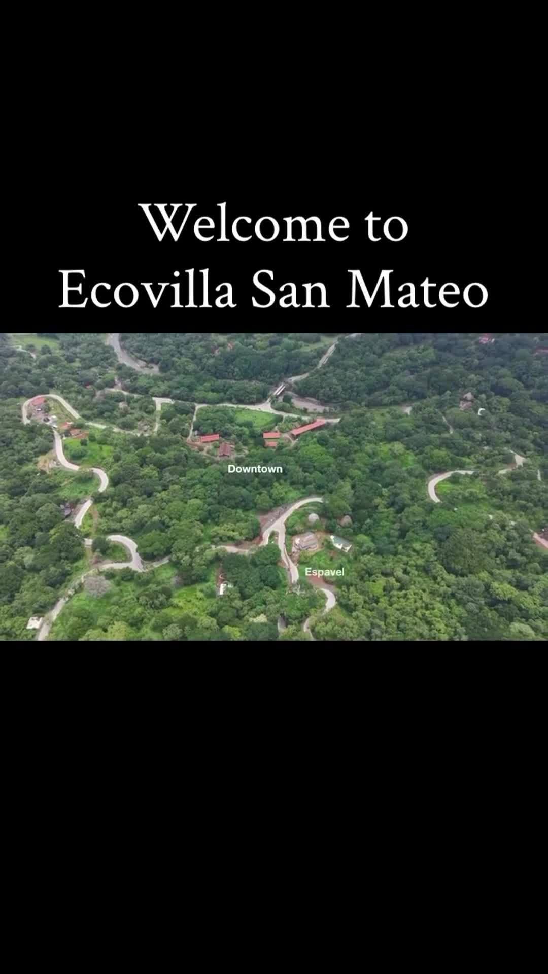
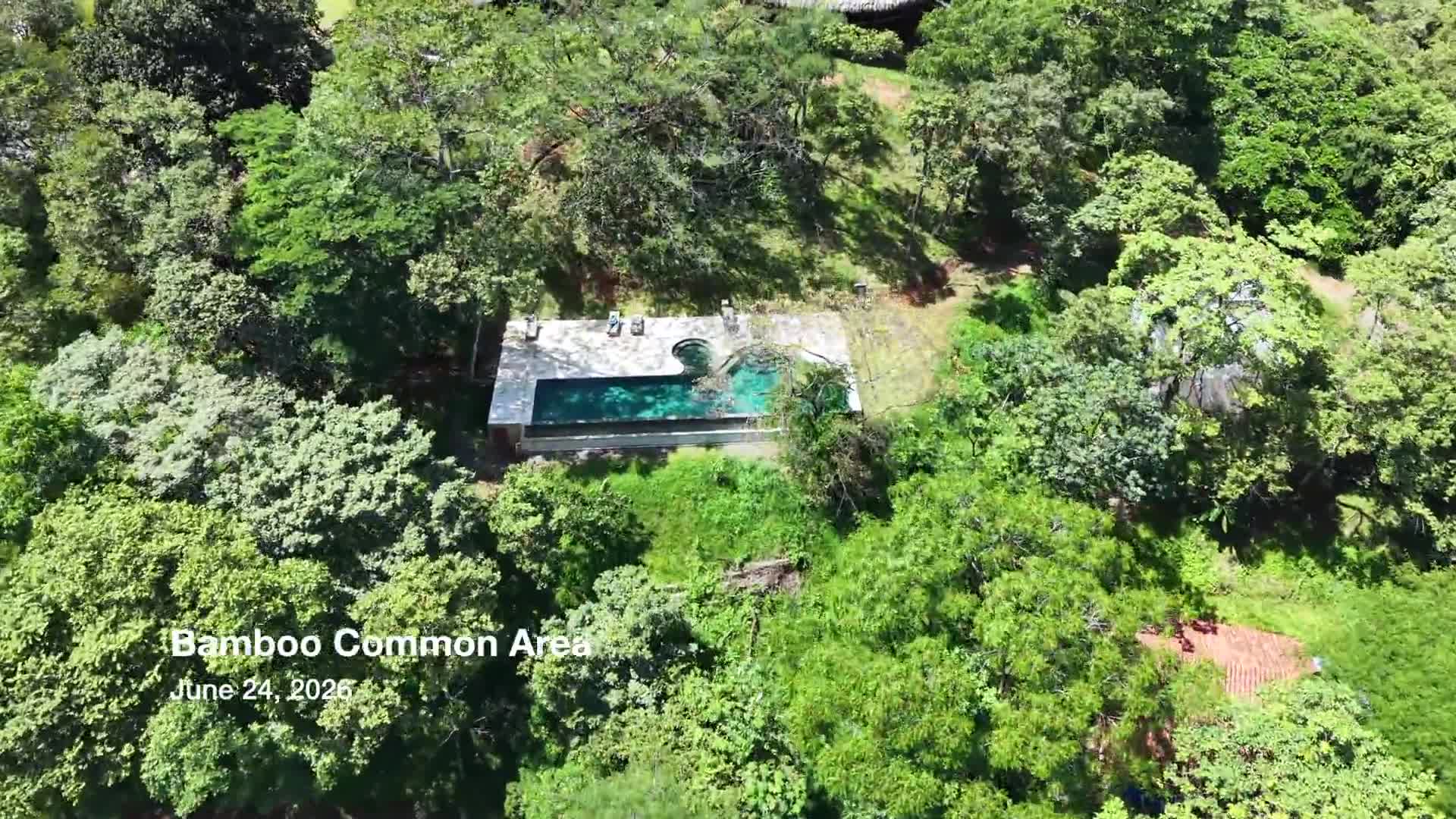
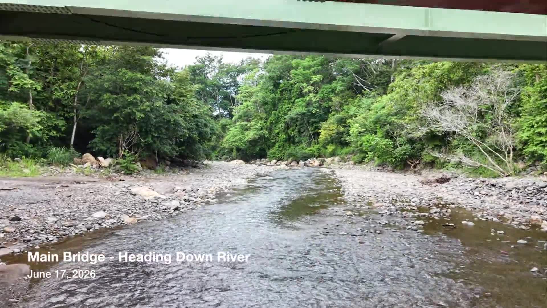
A high-altitude aerial survey documenting the area between the Main Bridge and Sports Complex. Following the community’s primary roadway, the flight highlights the Almendro Neighborhood, future development areas within the G Lots sector, key infrastructure, and the surrounding natural landscape. The footage provides a broad overview of this section of Ecovilla San Mateo and serves as a historical record of community growth, land stewardship, and ongoing development.
Previous
Flyover of G Lots to Dalia
Next