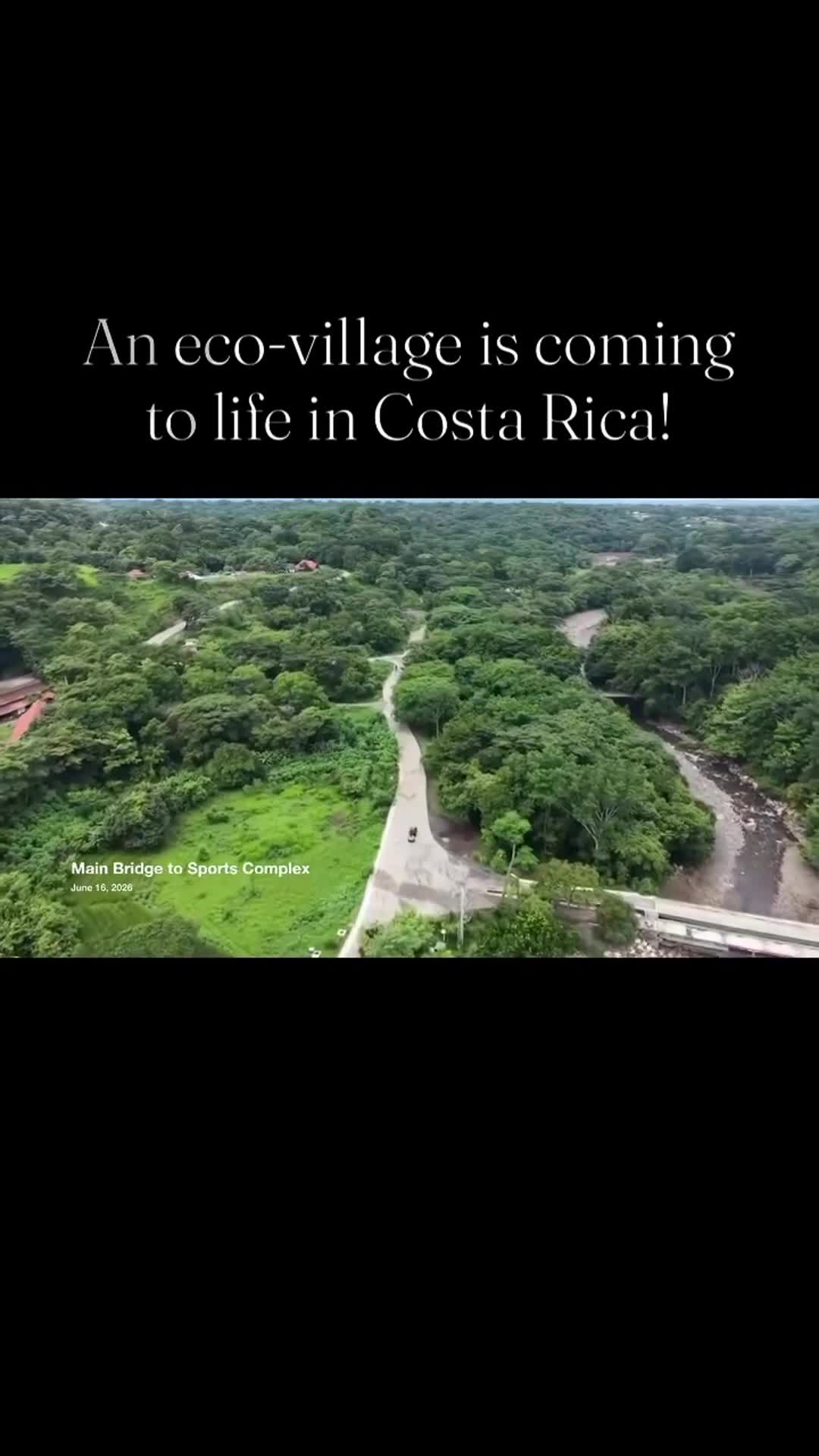
School Footbridge to Main Bridge
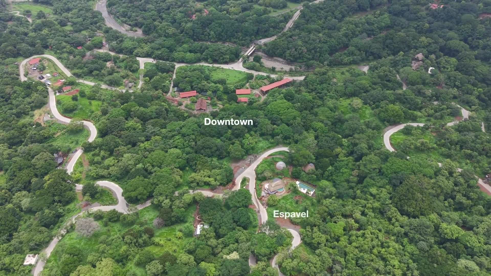
A low-altitude aerial survey of the river corridor traveling upstream from the School Footbridge to the Main Bridge. Captured just above the riverbed, this flight documents the river’s natural features while providing a detailed view of the extensive tree-planting and landscape restoration efforts underway along the riverbanks. The footage serves as a historical record of both community infrastructure and the ongoing ecological stewardship shaping the future character of Ecovilla San Mateo.
Previous
Bridge to Sports Complex Aerial Survey
Next